
Living in the South East of the UK you are never far away from reminders of more turbulent times. Built during 1940/41 and stretching across the the country are lines of bunkers – known as pillboxes – and other fortifications intended to slow down an invading army.
Type 24 Pillbox by Deep3D on Sketchfab.
Thankfully they were never put to the test. They now sit quietly, often buried away in hedgerows of the countryside and standing as silent reminders of darker times.
Scanning History
There are plenty of these bunkers lining the route of the Basingstoke Canal, a man-made obstacle fortified to make life harder for anyone wanting to cross it. The bunker in question sits in a small copse close to a bridge and overlooks open farmland. You might be forgiven for wondering why a bunker was built behind an oak tree, but 80 years ago the oak would have provided more cover than obstruction…
This kind of subject is a great testbed for photogrammetry techniques and in this instance combining relative (measurements within the scene) and absolute (the location) accuracy makes this pillbox perfect. This example is accessible and well preserved but the only downside is the tree cover can make GPS signal less than idea. The internal space is clean too – it does not smell of urine(!) – so scanning inside does not require a peg on your nose.

Understanding the Construction
Each of the pillboxes was built to a common design and this one is known as a FW3/24 type pillbox. You can read more about this type of pillbox featured here, but I have often wondered how thick the walls were?
With both the internal shape and and internal spaces scanned the 3D model can now reveal all:


Its unlikely anyone has seen what the pillbox looks like without its roof on since they were first constructed.
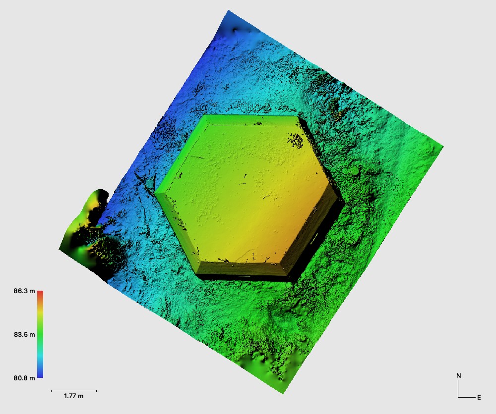
Accuracy
With this exercise the camera was being fed with a continuous stream of GPS data. Whenever the shutter was released the position of the image was captured. Whilst this helps with reconstruction its not (yet…watch this space) accurate enough for our client’s needs so six more GPS points were gathered and used for scaling.
The DEM does reveal a very slight tilt of the building. This has not been verified but is likely to be a small error in the reading of elevation.
The pillbox now sits in a wooded area and is under a tree canopy. Its a lovely deciduous copse of oak an hazel, and the evidence of what trees are present is in the orthophoto:
Hazelnuts can be seen (and counted, if you really want to) in the orthophoto looking down on the roof of the pillbox. There are four scale bars visible in the orthophoto and there is a measurement tool provided by Dronelab available in the orthophoto viewer.