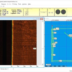
Drain the Pirate City
Pirate Port in the Press Published in this month’s BSAC SCUBA magazine is a four page account of how Jamaica’s Port Royal was scanned on behalf of MSP/National Geographic/Discovery Canada for the production of Drain the Sunken Pirate City. The programme now being broadcast on National Geographic Channel here in the UK. Port Royal is Read more about Drain the Pirate City[…]